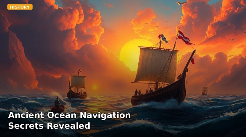
Ancient Ocean Navigation Secrets Revealed
Ancient Ocean Navigation Secrets Revealed
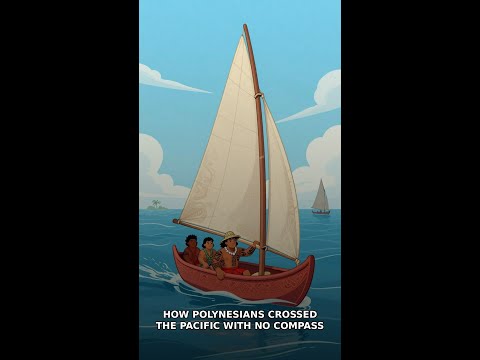
Close your eyes and picture this: you’re in a wooden canoe, somewhere in the middle of the Pacific Ocean. No GPS. No compass. No instruments of any kind. The nearest land is hundreds of miles away — and you can’t see it, smell it, or hear it.
Yet you know exactly where it is.
Not because of a lucky guess. Because you can feel it through the hull of the boat.
This is how Polynesian and Marshallese navigators crossed the largest ocean on Earth for thousands of years — and the technique they used was so sophisticated that modern oceanographers are still studying it today.
The Ocean Has a Language — Most People Never Learned to Read It
Open water looks chaotic. Waves crash, swells roll, currents shift. To an untrained eye, it’s noise.
To a Marshallese navigator, it was a map.
The key insight — one that took outsiders centuries to understand — is that islands don’t just sit in the ocean. They interrupt it. Every island, every atoll, every reef system physically blocks the movement of ocean swells, creating disturbances in wave patterns that radiate outward for hundreds of miles in every direction. Long before you can see an island on the horizon, the ocean beneath your canoe is already telling you it’s there.
Marshallese sailors developed what researchers now call wave-piloting: a navigation system built entirely around reading the shape, direction, and interference patterns of ocean swells. They didn’t sail toward landmarks. They steered between islands, using the subtle deformation of waves as their guide — a living, moving chart that existed only for those trained to read it.
This wasn’t intuition. It wasn’t luck. It was a systematic, teachable body of knowledge, passed from navigator to navigator across generations, refined over thousands of years of open-ocean voyaging.
What Wave-Piloting Actually Involves
Here’s where it gets genuinely extraordinary.
Ocean swells typically travel in consistent directions, driven by distant weather systems and wind patterns. When a swell hits an island, it doesn’t just stop — it bends around the island, reflects off its shores, and creates secondary wave patterns that fan outward in all directions. Two islands close together create interference patterns between their respective wave shadows, producing a distinct “corridor” of disrupted water that a trained navigator could identify and steer through.
Marshallese navigators didn’t read these patterns with their eyes. They read them with their bodies.
Lying flat in the hull of the canoe, pressing their torso and legs against the wood, they could feel the subtle pitch and roll that indicated a distant island’s wave shadow. The sensation was different from normal ocean movement — a slight change in rhythm, a shift in the angle of the swell, a barely perceptible flattening of wave energy in one direction. To someone who had spent years learning the ocean’s grammar, these signals were as legible as a road sign.
This is the part that tends to stop people cold: the information was traveling through water as physical pressure waves — not unlike sound waves — propagating outward from an island across enormous distances. The navigators had essentially learned to decode underwater acoustic geography with their own bodies as the instrument.
The Stars Were Only Part of the Story
Most people, when they hear about Polynesian navigation, think of star charts. And yes — Pacific Islanders observed the positions of stars, tracked the sun’s arc, and used celestial markers to maintain bearing across open water. That part of the history is well-documented and genuinely impressive.
But the stars only work when the sky is clear. They tell you your heading. They don’t tell you where the land is.
Wave-piloting filled that gap. It was the system that activated when the stars disappeared behind clouds, when the horizon offered nothing but water, when every other navigational cue failed. Navigators also cross-referenced other environmental signals — the behavior of birds, the color and temperature of water, the presence of certain currents — building a composite picture of their position from dozens of overlapping data sources simultaneously.
Ocean currents, in particular, functioned as highways. Certain current patterns were associated with specific routes, and navigators learned to identify them by feel, by the behavior of the water’s surface, and by the way flotsam moved around the canoe. Combined with wave-piloting, this gave them a navigation system that was redundant by design — if one signal was unavailable, three others were still transmitting.
The result was a civilization capable of intentional, repeated, long-distance voyaging across the Pacific — not accidental drift, but deliberate exploration and settlement of islands separated by thousands of miles of open ocean.
Why This Knowledge Nearly Disappeared — and Why It Matters Now
The arrival of European instruments and colonial disruption didn’t just change how Pacific Islanders traveled. It nearly erased the knowledge systems that had sustained their civilizations for millennia. Wave-piloting, in particular, became extremely rare — a skill held by only a handful of living practitioners at certain points in the twentieth century.
The Marshall Islands’ stick charts — physical objects made from palm ribs and shells, used to teach wave patterns on land before a voyage — became museum curiosities, studied by anthropologists who often misunderstood their purpose. For a long time, outsiders assumed they were symbolic or ceremonial. They weren’t. They were training tools: physical models of wave interference patterns that a student navigator would memorize and then leave behind before embarking, because the charts themselves were never taken to sea. The knowledge had to live in the body, not the hand.
What’s happening now is a deliberate effort to recover and preserve this knowledge before the last practitioners are gone. Researchers and Pacific communities are working together to document wave-piloting techniques, understand the oceanographic science behind them, and reconnect younger generations with navigation traditions that represent one of humanity’s most sophisticated relationships with the natural world.
Modern oceanography has confirmed what Marshallese navigators knew empirically: islands do create measurable, detectable wave shadows that extend for significant distances. The physics is real. The technique worked. And the fact that a civilization developed it — without instruments, without written records, without any of the tools we associate with scientific knowledge — says something important about what human beings are capable of when they pay close enough attention to the world around them.
Final Thought
The Marshallese navigators didn’t conquer the Pacific Ocean. They learned to listen to it — through their skin, through the hull of a canoe, through thousands of years of accumulated knowledge about how an island bends a wave. The stick charts sitting in museum collections aren’t artifacts of a primitive past. They’re evidence of a scientific tradition sophisticated enough that modern oceanographers are still reverse-engineering its principles. The question worth sitting with isn’t how they did it without our technology. It’s what else we might be missing because we stopped paying attention to the signals that were always there.
Frequently Asked Questions
How did Polynesian navigators find land without instruments?
Polynesian and Marshallese navigators used wave-piloting, a technique of reading how islands interrupt and distort ocean swell patterns. These disturbances radiate hundreds of miles outward, allowing navigators to detect land long before it was visible.
What is wave-piloting and how does it work?
Wave-piloting is a navigation system developed by Marshallese sailors that uses the shape, direction, and interference patterns of ocean swells to navigate. Islands physically block swells, creating detectable disturbances that act as a living, moving map.
How far away can ocean waves detect an island?
According to the blog, the wave disturbances created when islands interrupt ocean swells can radiate outward for hundreds of miles in every direction, allowing trained navigators to sense land well before it becomes visible on the horizon.
Recommended Reading
Explore these hand-picked resources to dive deeper into this topic:
- The Wayfinders by Wade Davis
- 1491: New Revelations of the Americas Before Columbus by Charles C. Mann
- National Geographic Ocean Explorer Kit
As an Amazon Associate, we earn from qualifying purchases. This helps support Fact Storm Hub at no extra cost to you.
Sources
- https://www.popularmechanics.com/science/a22061/polynesian-stick-chart/
- https://hokulea.com/polynesian-wayfinding/
- https://shakatribeshop.com/pages/the-art-of-polynesian-navigation-exploring-ancient-seafaring-techniques
- https://manoa.hawaii.edu/exploringourfluidearth/physical/navigation-and-transportation/wayfinding-and-navigation
- https://www.bbc.com/future/article/20231128-what-we-can-learn-from-the-ancient-art-of-wayfinding
Watch the Video
🤖 AI Content Disclosure
This article was created using AI-assisted research and writing tools, then reviewed for quality and accuracy. Facts are sourced from publicly available web research, but readers should verify critical information from primary sources.
Published for educational and entertainment purposes. Last reviewed: April 2026