4 Earthquake Facts About “Safe” U.S. Counties
4 Earthquake Facts About “Safe” U.S. Counties
On Easter Sunday, while most of Randolph County, North Carolina, was quiet, the ground wasn’t. Two small earthquakes, confirmed by the U.S. Geological Survey, rumbled through this unassuming region—a place nobody considers an earthquake zone. This event isn’t an anomaly; it’s a critical clue to understanding the dynamic geography of our planet and why the ground beneath your feet is never as stable as you think.
This isn’t a story about distant disasters. It’s about the hidden forces that connect a tiny tremor in a quiet American county to the colossal tectonic collisions that shape every country on Earth. What geologists know, but rarely explain, is that the map of earthquake risk is being rewritten, and the most surprising fact is that no place is entirely off-limits.
1. The “Ring of Fire” Isn’t a Ring—It’s a 40,000 km Collision Zone
Most of us picture the Ring of Fire as a neat, fiery circle around the Pacific Ocean. This simple image, taught in every geography class, is dangerously misleading. It’s not a ring; it’s a chaotic, 40,000-kilometer-long battleground where the colossal Pacific Plate is in a slow-motion crash with at least seven other major tectonic plates. Over 90% of all earthquakes, including the most powerful ones ever recorded, happen along this messy, unpredictable boundary. The ground doesn’t just shake here; it’s being systematically consumed.
Imagine the Pacific Plate as a giant conveyor belt of oceanic crust. In places like the coast of Japan or the edge of South America, this dense plate dives beneath the lighter continental plates in a process called subduction. But it doesn’t go smoothly. For decades, even centuries, the edges of these plates get stuck, locked together by immense friction. All the while, the rest of the plate keeps moving, relentlessly building up stress like a coiled spring. When the friction finally gives way, the stored energy is released in seconds, unleashing a megathrust earthquake. The 9.1 Tōhoku earthquake in 2011, which devastated Japan, was the result of centuries of stored energy releasing at once, causing the island of Honshu to shift 2.4 meters eastward. This isn’t a simple circle of volcanoes; it’s the planet’s largest recycling system, and every city along its path, from Santiago to Tokyo, lives on the edge of its next violent cycle.
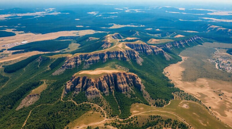
2. A Quake Can Strike a “Safe” Place Like Florida for a Terrifying Reason
The common belief is that if you don’t live on a plate boundary, you’re safe. This is a comforting lie. While major quakes are concentrated at the edges, the plates themselves are not solid, unbreakable shields. They are more like giant slabs of cracked concrete, riddled with ancient scars and hidden faults far from the main boundaries. These are called intraplate faults, and they are the reason a place like Florida, famously flat and geologically “boring,” can experience earthquakes.
These faults are relics of a distant geological past—the ghosts of ancient mountain ranges or failed continental rifts from hundreds of millions of years ago. For eons, they lie dormant, buried under kilometers of sediment. But the stress from the distant plate boundaries doesn’t just stop at the edge; it radiates thousands of kilometers into the continent’s interior. This constant, continent-wide pressure can find a weak spot in these old cracks and reactivate them. That’s what happened in Randolph County on Easter Sunday. It’s also why the most powerful earthquake swarm to ever hit the contiguous United States occurred not in California, but in the New Madrid Seismic Zone, right in the middle of the country, shaking Missouri and Tennessee in 1811-1812 with quakes estimated to be over 7.5 in magnitude. Every country has these hidden scars. The ground in your own city might be sitting on one, a sleeping giant waiting for just enough pressure to stir.
3. The Deadliest Quake of the 21st Century Wasn’t the Strongest
We are conditioned to measure an earthquake’s danger by its magnitude. A 9.0 sounds infinitely more catastrophic than a 7.0. But the raw power of a quake is only one part of the story. The true devastation is a brutal intersection of geology and human geography. The 2010 Haiti earthquake is the most tragic proof of this. It registered as a 7.0 magnitude quake—powerful, but dwarfed by the 9.1 Tōhoku quake that hit Japan a year later. Yet, the death toll in Haiti exceeded 220,000, while in Japan it was under 20,000. Why the horrifying difference?
The answer lies beneath the surface and within the walls of the city. The Haiti quake was incredibly shallow, just 13 kilometers deep, meaning the seismic waves didn’t lose much energy before hitting the capital city of Port-au-Prince. The city itself was built on soft soil that amplified the shaking like a bowl of jelly. Most tragically, the country lacked any meaningful seismic building codes. Concrete buildings, unreinforced with steel, simply pancaked, trapping tens of thousands of people. In contrast, Japan’s quake was deeper and much farther offshore. More importantly, the country has spent billions on engineering some of the most earthquake-resistant structures on Earth. The disaster in Haiti wasn’t just a natural one; it was a catastrophe of poverty and engineering. A city can become abandoned not just from the shaking, but from a failure to prepare for the inevitable geography of its location. The magnitude number doesn’t tell you who will live or die—the building codes do.
4. A New Ocean Is Being Born in Africa, Tearing a Continent Apart
We tend to think of tectonic plates as only crashing into each other. But the forces that cause earthquakes can also pull the Earth’s crust apart. And right now, in Eastern Africa, we are witnessing this happen in real-time. The East African Rift Valley is a massive, 6,000-kilometer-long scar stretching from Ethiopia down to Mozambique. It is a place where the African continent is being torn in two. This isn’t a hypothetical future event; it’s a geological process happening now, marked by constant volcanic activity and frequent earthquakes.
The rift is what geologists call a “divergent plate boundary.” The Somali Plate is pulling away from the larger Nubian Plate at a rate of a few millimeters per year—about the speed your fingernails grow. While that sounds slow, over millions of years, it’s creating a new world. The valley floor has dropped by hundreds of meters, creating sheer cliffs and deep basins that house famous lakes like Lake Tanganyika. In 2005, in the Afar Depression of Ethiopia, a 60-kilometer-long fissure ripped open in just 10 days, an event that would normally take hundreds of years. This entire region is the birthplace of a new ocean. In a few million years, the Indian Ocean will flood this valley, turning the Horn of Africa into a massive island and creating a new sea. Every small earthquake felt in this country today is not just a tremor; it’s the sound of a continent breaking and a new ocean being born.
Final Thought
From the sudden, startling tremor in a “safe” North Carolina county to the slow, inexorable tearing of Africa, earthquakes are the planet’s pulse. They are a reminder that the ground beneath our homes, our cities, and our countries is not a static foundation but a dynamic, living surface. The study of geography isn’t just about memorizing a place on a map; it’s about understanding the immense, unstoppable forces that create and destroy those places. The real story geologists tell is that the Earth is constantly moving, and our survival depends not on ignoring this movement, but on learning to build our world in harmony with its violent, beautiful, and unending dance.
Sources
- https://www.usgs.gov/faqs/what-earthquake-and-what-causes-them-happen
- https://www.bgs.ac.uk/discovering-geology/earth-hazards/earthquakes/what-causes-earthquakes/
- https://www.mtu.edu/geo/community/seismology/learn/earthquake-location/
- https://profession.americangeosciences.org/society/intersections/faq/why-and-where-do-earthquakes-happen/
Recommended Reading
Explore these hand-picked resources to dive deeper into this topic:
- The Great Quake by Henry Fountain
- Earthquakes by Clive Oppenheimer
- USGS Earthquake Hazards Program (Educational Documentary Series)
As an Amazon Associate, we earn from qualifying purchases. This helps support Fact Storm Hub at no extra cost to you.
Share this story
🤖 AI Content Disclosure
This article was created using AI-assisted research and writing tools, then reviewed for quality and accuracy. Facts are sourced from publicly available web research, but readers should verify critical information from primary sources.
Published for educational and entertainment purposes. Last reviewed: April 2026